1842 – The Tithe Map

Tithe maps were produced following the Tithe Commutation Act of 1836, legislation passed to reform the long-established system by which a tenth of agricultural produce was paid to support the Church of England and, in some cases, other tithe owners. Traditionally, this payment had often been made in kind, meaning crops or livestock were delivered rather than money. The 1836 Act converted these payments into a fixed monetary charge known as a tithe rentcharge.
The reform required a systematic survey of landholding across England and Wales. As a result, detailed tithe maps were prepared for most parishes between approximately 1837 and the early 1850s. The purpose of these maps was to identify each parcel of land subject to tithe, record its acreage, state its land use, and assign responsibility for payment. The valuation was based on an average of national corn prices, calculated over a seven-year period, to stabilise payments and avoid fluctuations in annual harvest values.
Each tithe map was accompanied by a written document known as a tithe apportionment schedule. This schedule listed:
– The name of the landowner
– The name of the occupier
– The parcel number corresponding to the map
– The acreage of the plot
– The state of cultivation (such as arable, pasture, woodland, meadow, or orchard)
– The assessed rentcharge payable
The maps were typically drawn at a large scale, often comparable to later six-inch Ordnance Survey mapping. They were surveyed by professional surveyors and drawn on substantial sheets of paper or parchment. Because of their size and level of detail, many tithe maps are physically large documents. Parish maps such as Hambledon’s were plotted field by field, with each numbered parcel corresponding precisely to the entries in the apportionment schedule.
The tithe survey took place during a period of major agricultural and landholding change in England. Enclosure of common land, consolidation of farms, and evolving patterns of tenancy were reshaping the rural landscape. The tithe maps provide a detailed snapshot of land ownership and land use at that moment in the mid-nineteenth century. They record field boundaries, roads, watercourses, buildings, woodland, orchards, and other features relevant to agricultural valuation.
Not all tithe maps were of identical quality. Some were later certified as “first class” by the Tithe Commissioners, meaning they were considered sufficiently accurate to serve as legal evidence. Others were classified as “second class” if their accuracy was judged to be less rigorous. Regardless of classification, the combined map and apportionment documents form a comprehensive parish land record for the 1840s.
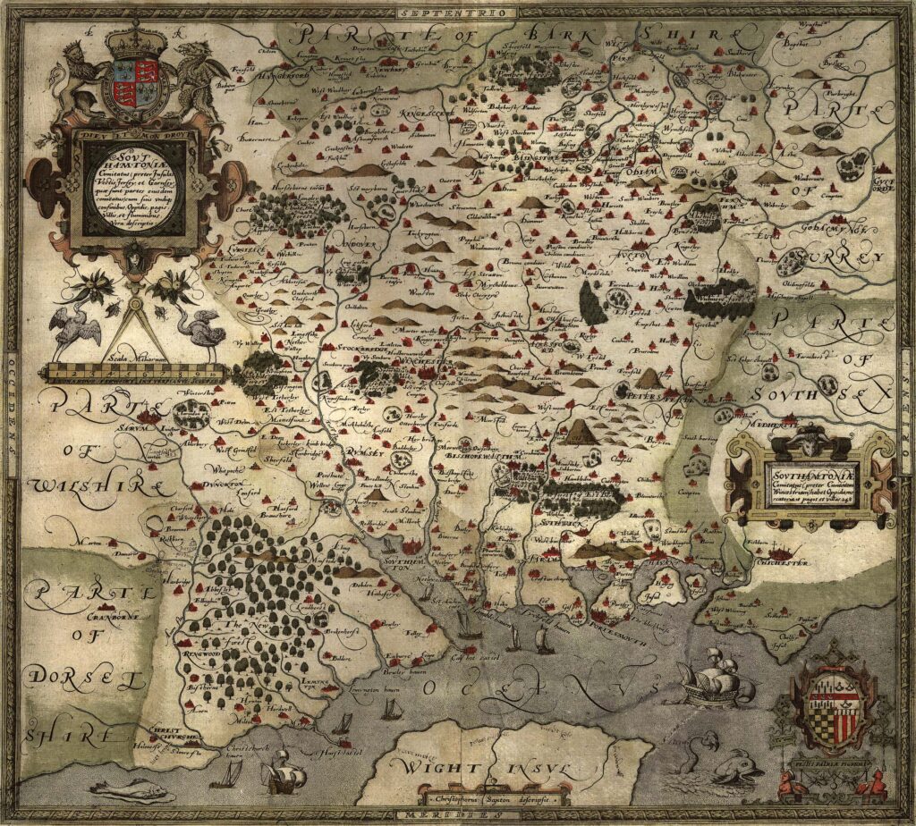
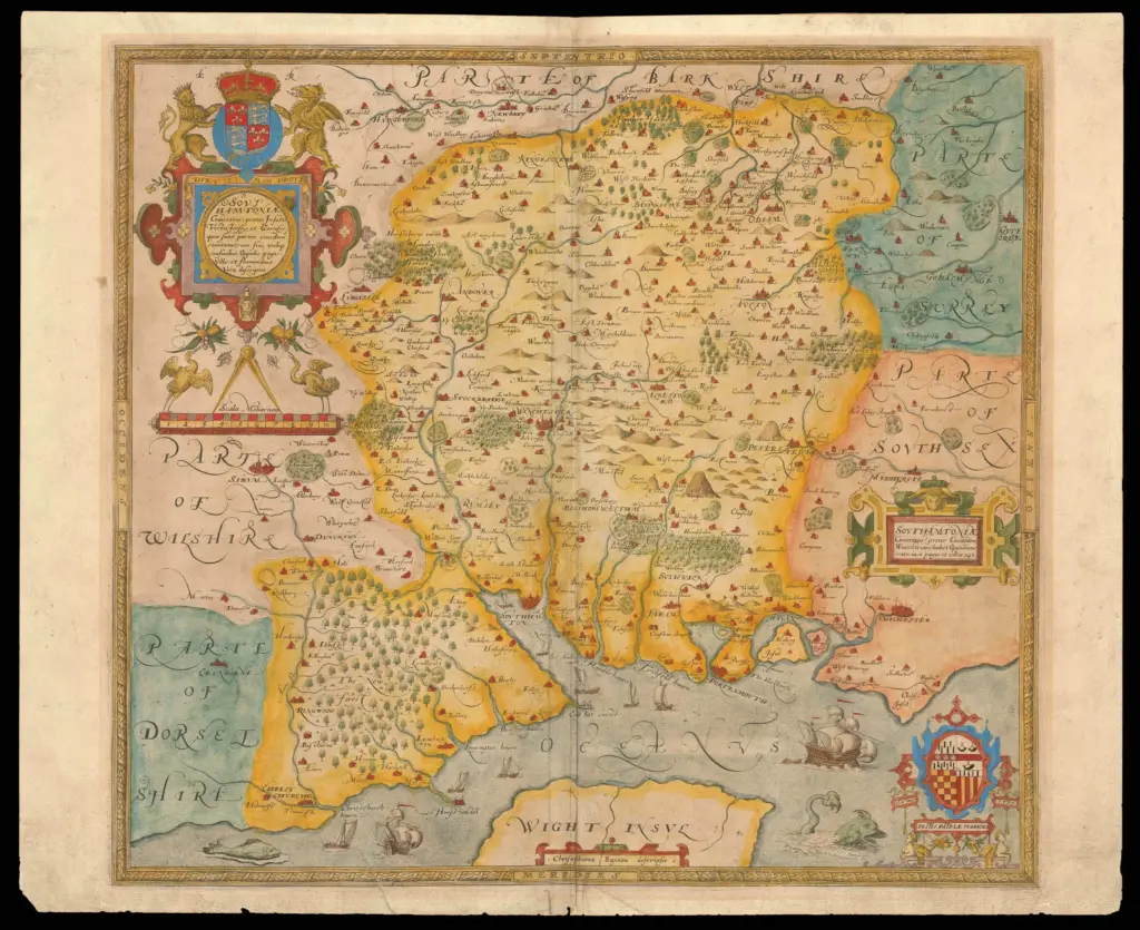
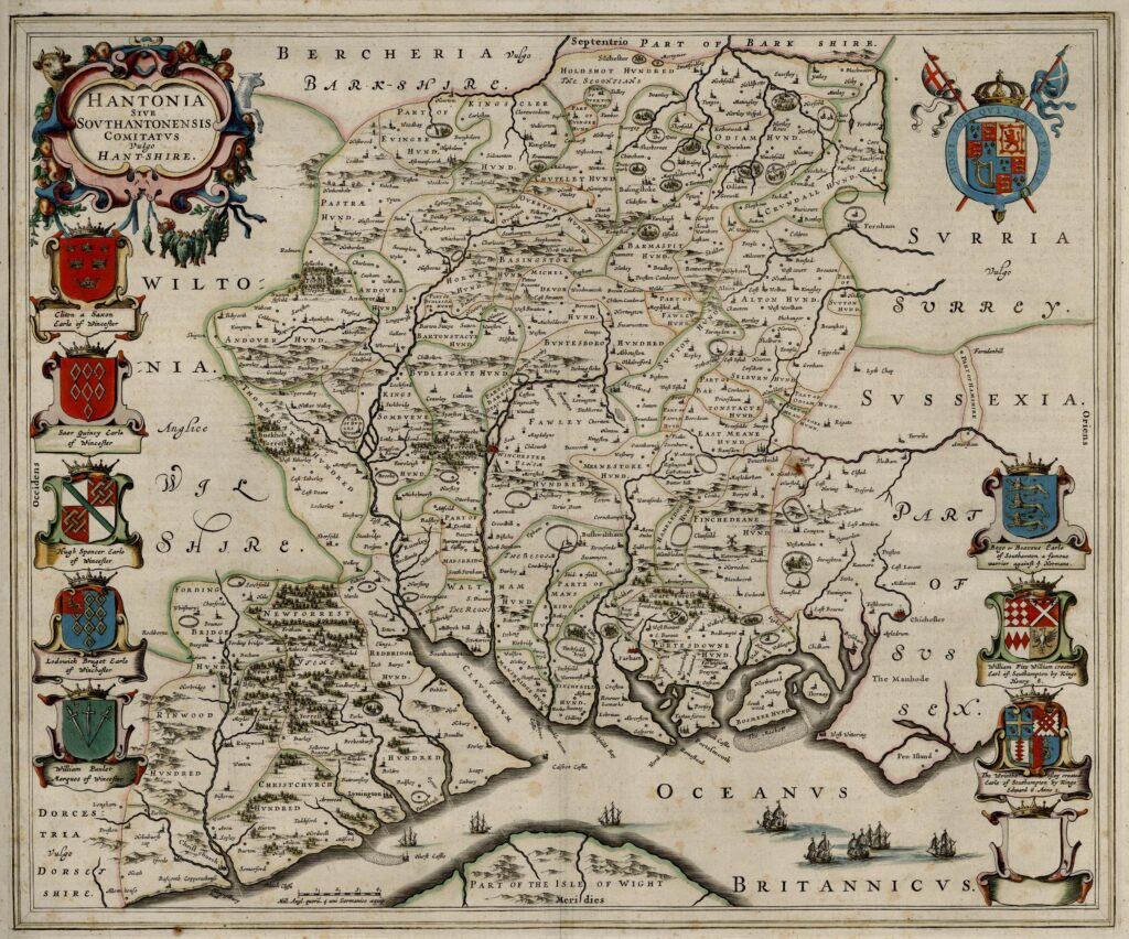
For Hampshire parishes, including Hambledon, the tithe map of 1842 represents one of the earliest detailed, parcel-level surveys of the landscape. Together with the accompanying apportionment schedule, it provides structured evidence of land division, agricultural use, and ownership during the early Victorian period.