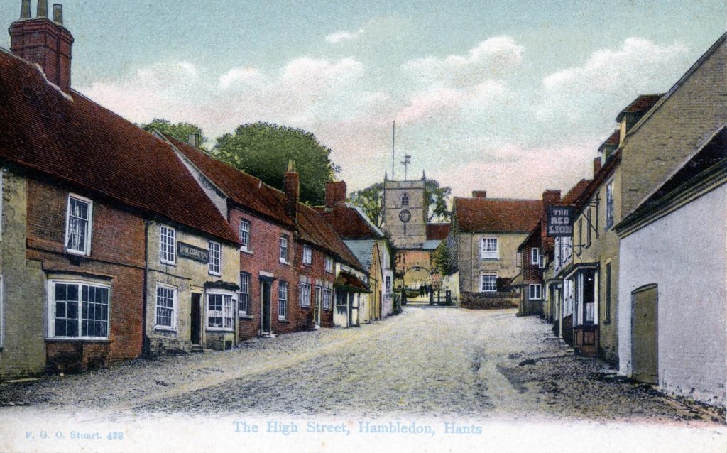
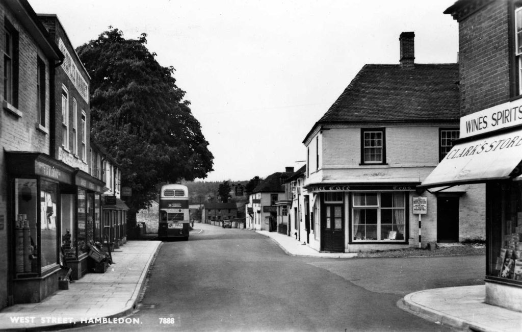
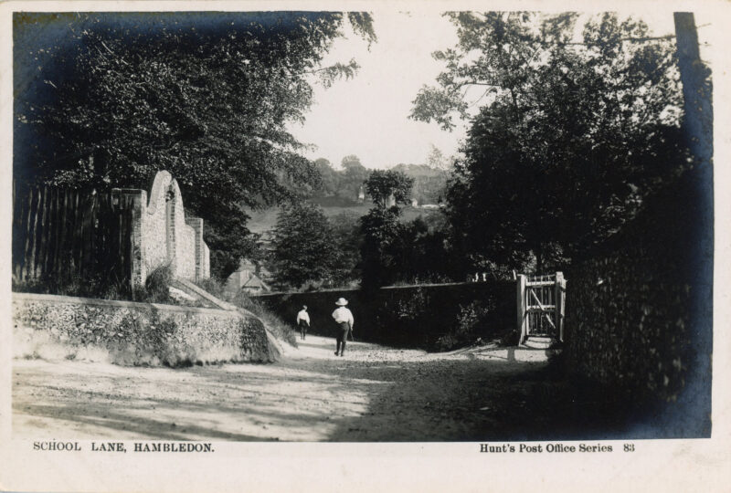
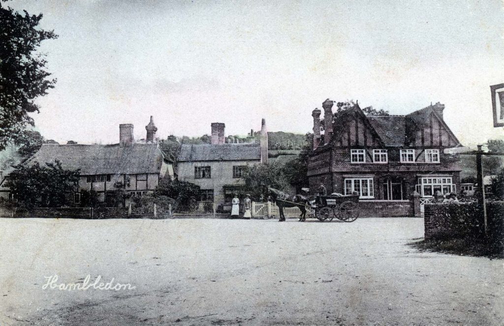
Author name: admin

Historical Eras

Modern Times

The plentiful aquifer water of Hambledon supported two breweries in the 19thC, the better known being Hartridge & Sons, formerly Alliance Brewery, which was acquired by Francis Hartridge in 1882 and continued at the same site for over 100 years, even surviving a German high explosive bomb in 1940.

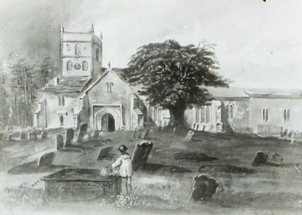
The arrival in 1874 of a new Vicar, the Reverend Dr. Thomas White, led to vigorous work in church building and reform of worship. Hambledon’s parish church underwent major repairs, and a new church of All Saints was consecrated at Denmead in 1880 to serve its growing population.

Historical Eras

The Middle Ages

Domesday Book mentions only two of the holdings in Hambledon, but figures given suggest quite a prosperous community. William I seized all church lands but in about 1160 Henry II returned the Manor of Hambledon to the Bishop of Winchester. A hundred years later Henry III granted the Bishop a weekly market in Hambledon on Tuesdays. This meant a rapid growth in the prosperity of the village and can be linked with the ambitious programme of enlarging the church.

Historical Eras

Earliest Days

The first evidence of settlement at Hambledon is the Bronze Age barrows scattered around the parish; while there is little trace of their successors, the Iron Age Celts, it is worthy of note that the ramparts of Old Winchester Hill’s Iron Age fort can be seen from the high ground of Hambledon’s downs just a few hours walk distant. However by 100 AD a Roman Villa had been established and this stood near Bury Lodge. During the invasions of the 5th century the Jutes probably settled in this area, as well as the Meon valley and were knows as the Meonwara. The first mention of Hambledon is in a charter by King Edgar dated 956 granting land at Chidden.

East Street, Street by Street

East Street

East Street, ‘a long straggling road’ in the words of Dora Goldsmith in 1908, runs from High Street as far as Park House and onwards to The Bat & Ball Public House which sits adjacent to Broadhalfpenny Down at the Parish Boundary with Clanfield. Although it is now now residential within the village boundary, East St has, in the past, encompassed every sort of house, business, profession and trade.

Green Lane, Street by Street

Green Lane

Green Lane, classified B2150, heads north northwest from its junction with West Street. The junction seems to have its own strategic or arterial importance with the siting of The Green Man public house (now a private residence) on the west side and next to it (actually on West St) The Cross Tree, once two attached cottages and now a single residence. Between these adjacent buildings a well-used footpath runs due west up to Boarhuts Copse. On the east side of the junction is a short lane, Crossways – location of two cottages. B2150 is the relatively busy connection with routes to Winchester and Alton. At Three Corners, Green Lane forks right from the main road in the direction of Chidden while the B2150 winds, with spectacular views over downland, past the site of the former Hambledon Race Course, ultimately to intersect with the A32 at Brockbridge.

Street by Street, West Street

West Street

West Street begins at the junction with High Street and runs westward becoming part of B2150 at the Green Man junction, continuing beyond the Village boundary and the junction with Fareham Road towards Denmead via Well Hill. Confusingly West St is bisected at the junction with Green Lane where the latter has right of way giving the impression when travelling west from the village centre that one is joining a different road. To reduce confusion we do talk about Upper West Street (being the easterly section) and Lower West Street the westerly section.

Church Lane, Street by Street

Church Lane

Church Lane branches right from the top of High St at a 90 degree junction; the cottages that range either side of the narrow lane present a village view that is archetypally English, aided by the houses lining the road, scrupulously maintained today by their owners. As the lane turns left there is the entrance to Folly House named for the prominently visible tower overlooking the village whose grounds in the Edwardian era hosted the Old Folly Tea Rooms. The lane leads on past the east gate to the churchyard and on to the Hambledon village school.

Street by Street, Upper West Street

Upper West Street

West Street begins at the junction with High Street and runs westward becoming the B2150 at the Green Man junction, continuing beyond the Village boundary and the junction with Fareham Road towards Denmead via Well Hill. Confusingly, West St is bisected at the junction with Green Lane where the latter has right of way, giving the impression when travelling west from the village centre that one is joining a different road. To reduce confusion we do talk about Upper West Street (being the easterly section) and Lower West Street the westerly section.

Scroll to Top