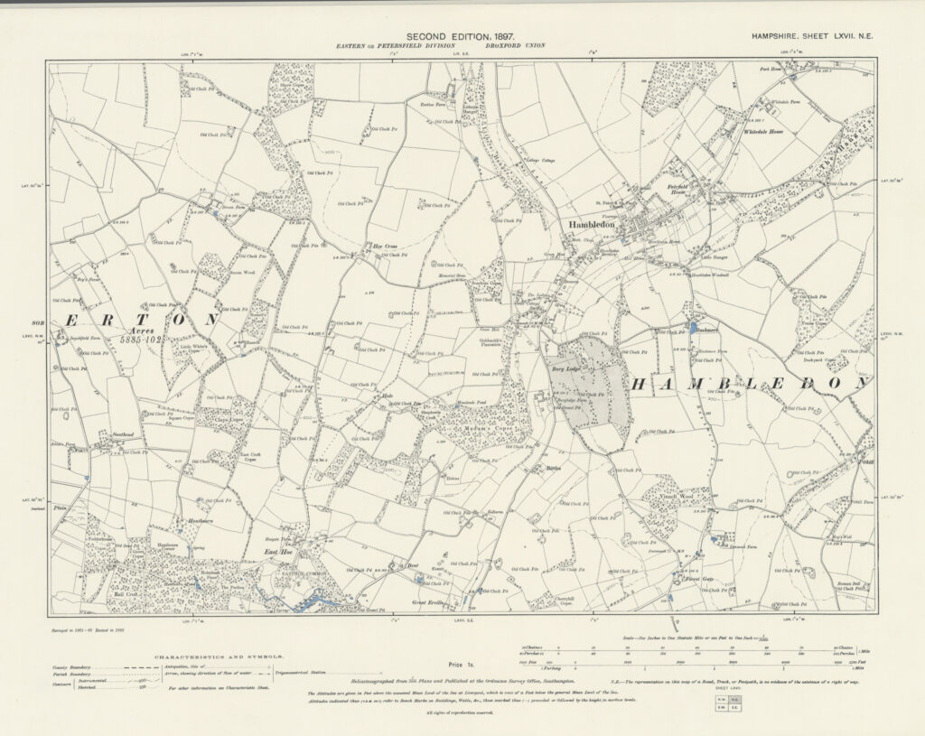
1897 – Ordnance Survey
The Ordnance Survey Second Edition maps of Hampshire, published in 1897, were based on a systematic revision carried out in 1895. This revision updated the earlier First Edition large-scale surveys of the county, which had originally been conducted in the mid-nineteenth century. Rather than undertaking a completely new survey, the Ordnance Survey carried out field revision to record changes that had occurred in the intervening decades.